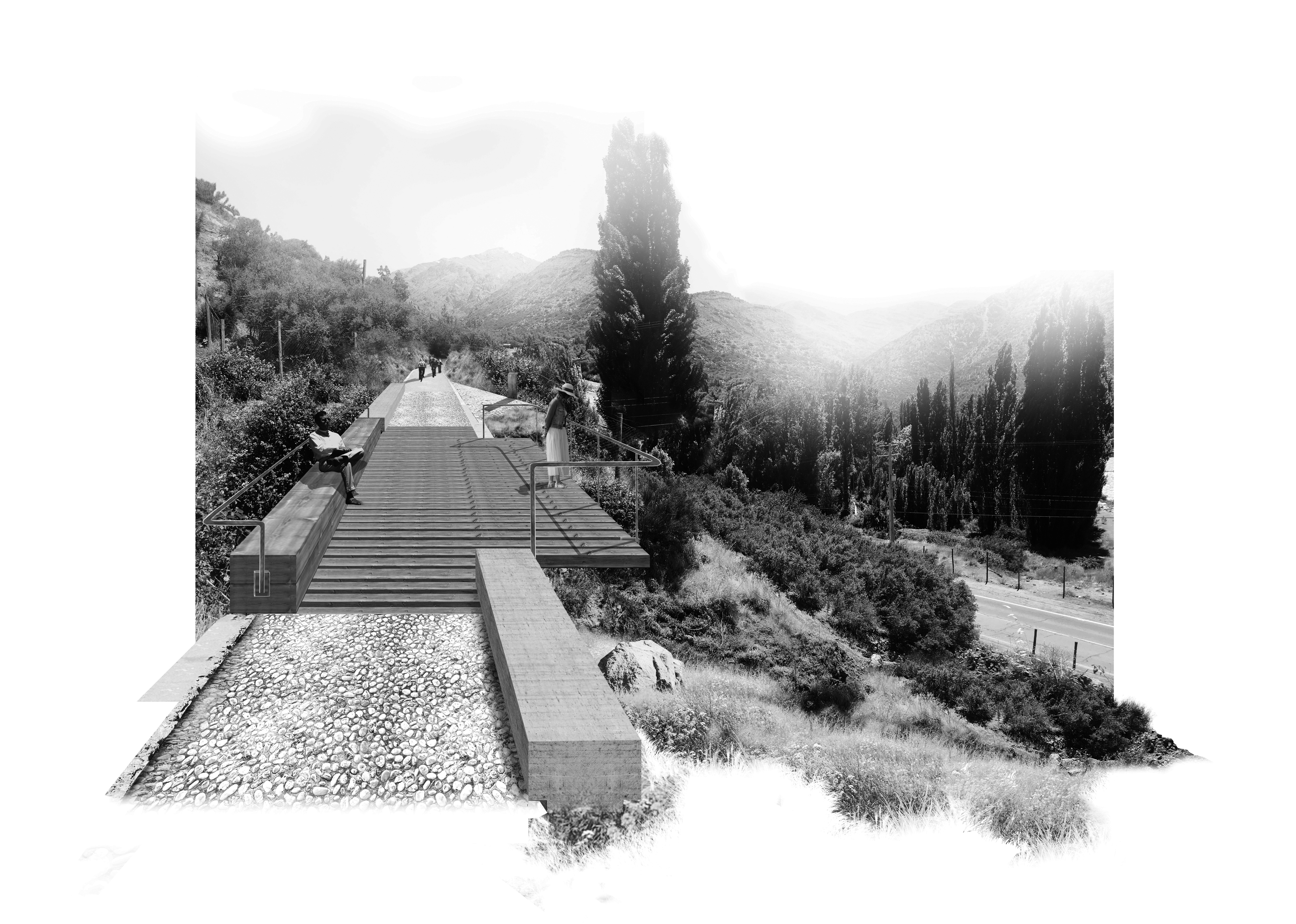
Maipo 60 x 60 Greenway: Recovery of Railway Landscape Heritage
Main Article Content
Abstract
The following article discusses the recovery of a distinctive railway infrastructure established in the early 20th century south of Santiago. This railway served as a crucial link for strategic connectivity and facilitated the productive development of the areas between Puente Alto and El Volcán. Known as the Military Railway, its implementation marked the inception of a unique landscape and territory management strategy along its 60-kilometer-long route, with a width of 60 centimeters, and a distinct set of components. Although it ceased its original transportation functions since the mid-80s, gradually becoming obsolete due to dismantling, the layout and various components of the railway retain their imprint and latent attributes in the territory to this day. There exists a rich interdependence between infrastructure, heritage, and landscape. This research, conducted in two stages, aims to recover this railway infrastructure. It begins with the creation of a Visual Atlas, which encompasses an exhaustive survey of its pre-existence and historical context. Additionally, it proposes the implementation of a potential Route or Greenway, focusing on preserving and enhancing its landscape and heritage values.
Downloads
Article Details

This work is licensed under a Creative Commons Attribution-NonCommercial-NoDerivatives 4.0 International License.

